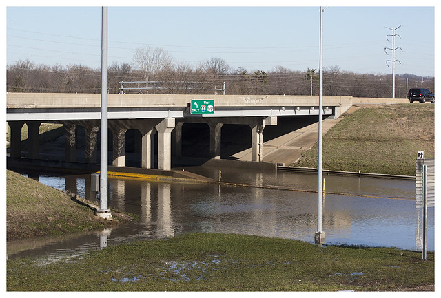
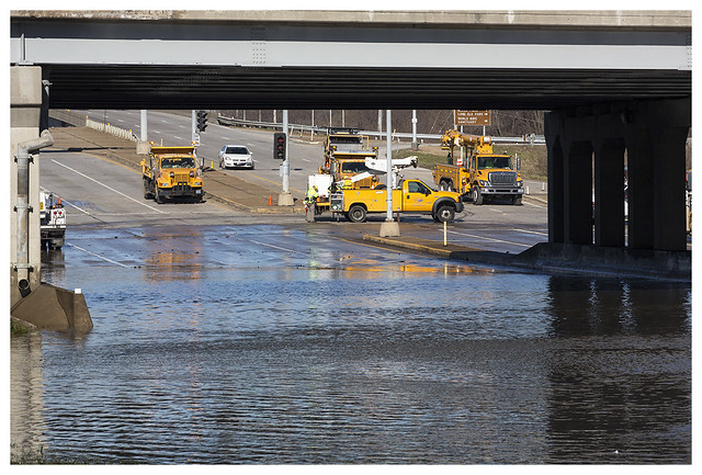
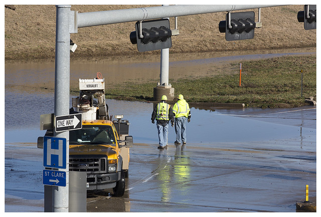
The intersection of Interstate 44 and State Highway 141 in suburban Valley Park always goes under water in the heaviest rains. The Meramec River, mentioned earlier in this series, is a short distance behind the Interstate. 141 runs down into a trough that is badly engineered and fills up from time to time. However, I can never remember 44, a major road, being closed by flooding. Part of it to the left of the frame runs low and next to the river. It was awash a few days ago.
The peak was on Thursday, December 31. These pictures were taken on Saturday, when the water level was much lower.
The peak was on Thursday, December 31. These pictures were taken on Saturday, when the water level was much lower.


The water level's dropped a lot. It was up to the overpass.
ReplyDeleteYou can see some of the markings of the high water point on the landscape, particularly in that first shot.
ReplyDeleteThat's indeed rather wet...
ReplyDelete